Tornado Warning Cincinnati 2026: How Tech Aids Storm Tracking
How weather apps, radar systems, and AI help track tornadoes in Cincinnati, blending climate news with tech innovation after recent storms.
Catastrophic flash flooding in Weston, WV, prompts a rare Flash Flood Emergency and statewide emergency. Buckhannon evacuates as over 7 inches of rain falls.
On July 21-22, 2026, a severe thunderstorm system parked over north-central West Virginia, unloading more than 7 inches of rain in a matter of hours. The result was catastrophic flash flooding that swamped the town of Weston, closed Interstate 79, and forced immediate evacuations in nearby Buckhannon. The National Weather Service issued a rare Flash Flood Emergency with a Particularly Dangerous Situation (PDS) designation — its highest alert for life-threatening water rises.
The storms hit hardest in Lewis, Randolph, and Upshur counties. In Upshur County alone, more than 5 inches of rain fell in about six hours Tuesday afternoon, followed by another three hours of heavy rain Tuesday evening. The West Virginia Division of Natural Resources conducted at least 33 water rescues. First responders fielded hundreds of calls for help as water poured into homes, businesses, and hotels.
In Buckhannon, the Upshur County Department of Homeland Security and Emergency Management issued an immediate evacuation order for residents on 1st through 5th Streets and Cleveland Avenue. A temporary shelter opened at the Church of the Nazarene on Zicks Run.
Interstate 79 remained closed near Weston into early Wednesday, cutting off a major north-south artery through the state.
Governor Patrick Morrisey declared a State of Emergency across all 55 counties late Tuesday. He announced that 100 National Guard members would deploy overnight to the hardest-hit counties. The governor’s office had issued a State of Preparedness earlier in the day, before the worst of the flooding began.
No deaths or serious injuries were reported, a remarkable outcome given the scale of the flooding.
The National Weather Service reserved its most severe warning language for this event. The Flash Flood Emergency was tagged as a Particularly Dangerous Situation (PDS), a designation used only for the most extreme flash flood threats. The warning was in effect until 10:30 p.m. ET Tuesday.
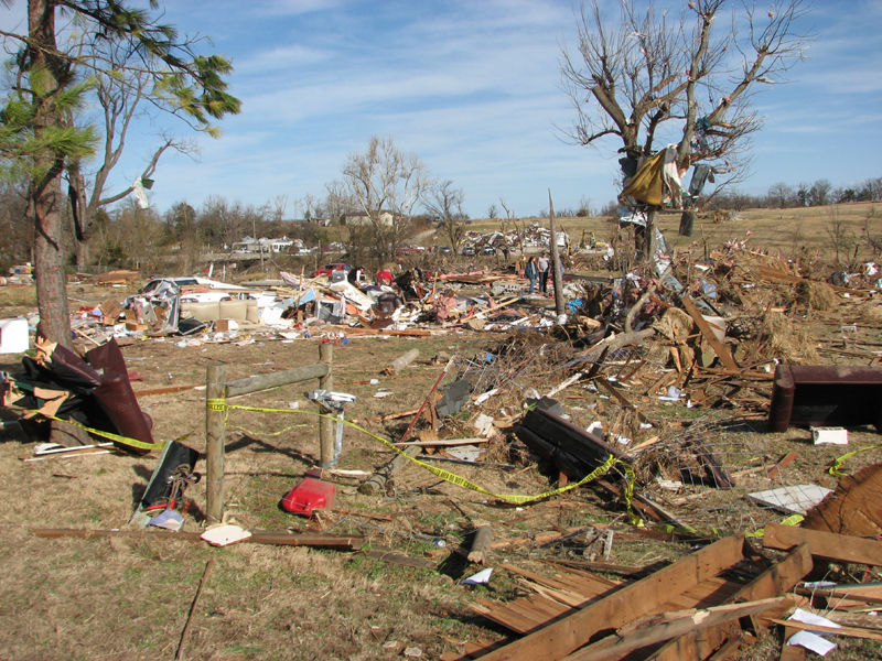
This was not an isolated storm. The same system spawned tornadoes and damaging winds from Kentucky to New Jersey. A suspected tornado tore through Pleasants County on Tuesday afternoon, leaving a trail of damage across the Ohio River Valley.
The July flooding came just weeks after devastating floods struck southern West Virginia in late June, particularly in Boone and Logan counties. Governor Morrisey had already requested federal funding to help those communities recover. The back-to-back disasters underscore the vulnerability of the state’s mountainous terrain to extreme rainfall events.
For residents of Weston and Buckhannon, the immediate focus remains on safety and recovery. The evacuation order in Buckhannon covered a dense residential area near the river, and the shelter at the Church of the Nazarene provided a refuge for displaced families.
As the state assesses the damage, the National Weather Service continues to monitor the potential for additional storms across the Mid-Atlantic and Carolinas. The same weather pattern that produced the West Virginia flooding could bring more heavy rain in the coming days.
For those in affected areas, the advice is simple: avoid flooded roads, follow local emergency orders, and stay informed through official channels. The water may recede, but the recovery will take weeks.
Continue exploring trending topics.

A level 3 severe weather threat brings heavy rain, flash flooding, and damaging winds to the Northeast on Tuesday, with the I-95 corridor at highest risk.